Lysløype Otrosåsen
| Marking: |  |
Difficulty: | Medium |
| Distance: | 6.1 km | Status: | Closed |

One of the trails of the Langrennsarena
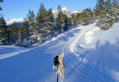
Foto: Jan Mielke
Foto: Jan Mielke
Back to the overview map
Track statististics
| Altitude difference: | 21 m | ||
| Lowest point: | 764 m | Highest point: | 785 m |
| Vertical meters up: | 93 m | Vertical meters down: | 93 m |
| Steepest up: | 17.6 % | Steepest down: | 14.6 % |
| Longest up: | 875 m | with a altitude difference of 33 m | |
| Longest down: | 1528 m | with a altitude difference of 6 m | |
| Incline/Decline | >15% | 10% - 15% | 5% - 10% |
| Up | 121 m | 154 m | 412 m |
| Down | 0 m | 235 m | 529 m |
| Plane (±4%) | 4652 m |